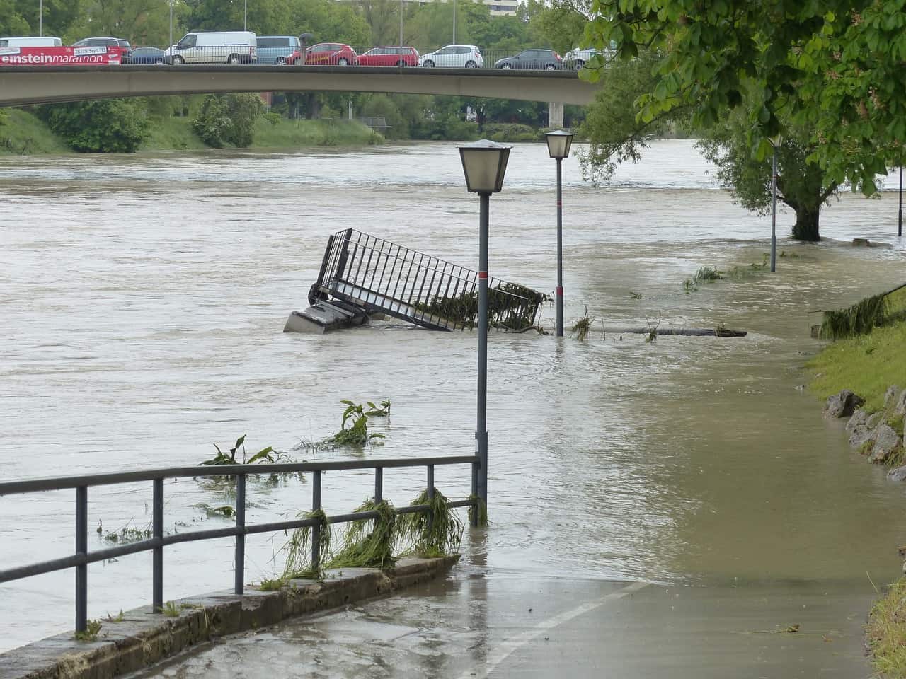
A severe storm, unleashing 2 to 3 inches of rain across New Jersey, has thrust the state into chaos, triggering a state of emergency. As the tempest largely moves on, it leaves in its wake substantial flooding, power outages affecting tens of thousands, and disruptions in education with school closures and delayed openings.
Forecasters are sounding the alarm for another weather system on the horizon, set to strike Friday night, bringing the ominous combination of wind gusts up to 60 mph along the vulnerable Jersey Shore and more heavy rain. The National Weather Service, in a social media update, warns of ongoing recovery efforts colliding with the impending storm, stating, “New rainfall Friday night through Saturday morning will exacerbate any flooding that would be ongoing, and new flooding is possible. Strong to potentially damaging winds will develop yet again Friday night.”
While Wednesday is expected to be largely dry, a lingering breeze persists, prompting wind advisories with speeds reaching 20 to 25 mph and gusts as high as 45 mph, according to the National Weather Service. The strongest winds are anticipated until mid-afternoon before subsiding, as detailed in the morning forecast update.
Power outages have taken a toll, with more than 60,000 homes and businesses powerless as of 6:30 a.m., though an improvement from the overnight peak of 120,000. Many school districts have opted for delayed openings as residents grapple with power and transportation challenges.
Major flooding incidents are reported along the Saddle River in Lodi and Ridgewood, as well as along the Raritan River in Somerset and Hunterdon counties. The weather service also notes major flooding along the Millstone River in Griggstown and the Lamington River in the Burnt Mills area of Bedminster. Dozens of other rivers statewide are experiencing moderate and minor flooding, with expectations that these rivers will remain at flood stage for the rest of the week.
The storm summary for January 10, 2024, emphasizes the widespread impacts of the storm, highlighting its significant rain totals of 2 to 3 inches across most of New Jersey, as reported by the National Weather Service.
As New Jersey contends with the aftermath, concerns are mounting for the potential exacerbation of flooding issues on Friday night and Saturday. Forecasters project another 1.5 to 2 inches of rain, accompanied by strong wind gusts up to 50 mph inland and 60 mph along the Jersey Shore.
The disruption extends beyond land, impacting air and rail travel. Dozens of flights at major area airports, including Newark Liberty International Airport and LaGuardia Airport, have been canceled. NJ Transit services are running on or close to schedule, except for the Princeton Shuttle Dinky, which is suspended due to a downed tree in the overhead wires. Bus services are stepping in for the short trip between Princeton and Princeton Junction station.
Roads heavily affected by flooding, according to 511nj.org early Wednesday, include Route 17 in Hasbrouck Heights, Route 23 in Pequannock, Route 124 in Springfield, Union County, Route 22 in Readington, Route 37 in Toms River, Route 206 in Bedminster, and Route 29 in Delaware Township.
Specific locales in New Jersey have borne the brunt of the storm, with Denville reporting 4.24 inches of rain, the Barry Lakes neighborhood in Vernon registering 4.2 inches, and Bridgewater documenting 4.14 inches. Other areas, such as the Succasunna section of Roxbury with 3.91 inches and Woodsville in Hopewell Township, Mercer County, with 3.84 inches, have recorded significant rainfall.
Wind gusts have been a notable feature of this storm, with Island Beach State Park experiencing a gust of 72 mph around 9:30 p.m. and Ocean City recording a 65 mph gust at approximately 10:40 p.m. Several other wind gusts of 60 mph were also documented.
As Wednesday unfolds with highs of around 59, the forecast indicates a mostly sunny Thursday with temperatures in the mid to upper 40s. Friday is expected to offer similar conditions ahead of the anticipated nighttime rain. The state remains on high alert, emphasizing the need for caution, preparedness, and vigilance amidst the ongoing challenges. #NewJerseyFlood #StateOfEmergency #PowerOutages #HeavyRain
Current Weather Radar:

